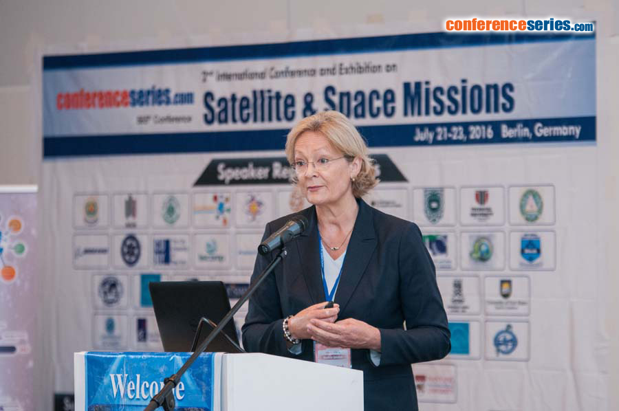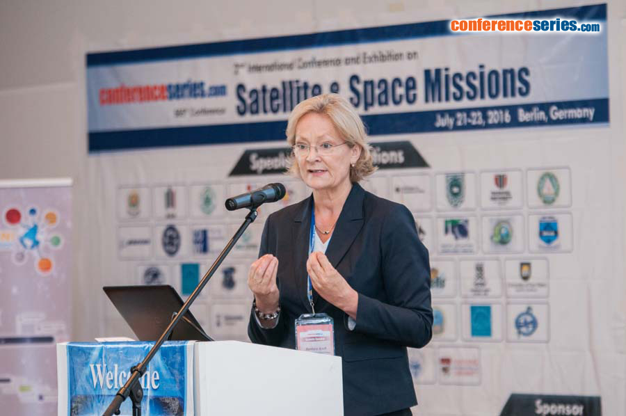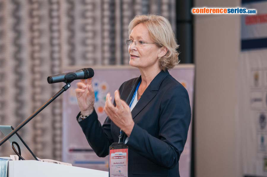
Barbara Koch
University of Freiburg
Germany
Title: Potential of different sensor combination approaches for the estimation of above ground biomass
Biography
Biography: Barbara Koch
Abstract
Space-borne sensors allow for wide-scale assessments of forest ecosystem assessments. Combining the products of multiple sensors are hypothesized to improve the estimation of forest biomass. We applied interferometric (Tandem-X) and photogrammetric (WorldView-2) predictors, e.g. canopy height models, in combination with hyperspectral predictors (EO1-Hyperion) using 4 different machine learning algorithms for biomass estimation in temperate forest stands near Karlsruhe, Germany. We also estimated the spatial distribution of timber volume to calculate the regional potential for lignocellulosic raw material. Here we used a combination of airborne Lidar with Landsat TM 7 data linked with terrestrial inventory net data. To enhance the accuracy we developed a socio-economic predictor regarding the ownership and size of the woods. Finally we tested the accuracy of canopy top elevation, ground elevation and vegetation height (VH) derived from space borne full-waveform LiDAR (Light Detection And Ranging) ICESat/GLAS data across forested areas, as basis for the estimation of biomass. Computed height metrics from ICESat/GLAS data were compared against airborne laser scanning (ALS) based digital elevation models. Due to the dynamic topography of the sites under investigation, a wide range of slope angles could be investigated. ICESat's raw waveform data (GLA01) and the land surface altimetry data (GLA14) products were used to determine height metrics with different methods. The presentation will provide results of the different methods and sensors for vegetation height assessment, derived estimations on timber volume and above ground biomass.